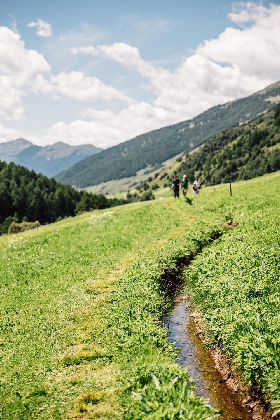
Hiker on a narrow meadow trail with a view of the mountains of the Matsch valley

How to get to Matscher Alm

On foot

Hike from the Glieshöfe

Easy
Walking time
45 min
Elevation
200 m
Destination
2,000 m
Start
Glieshöfe

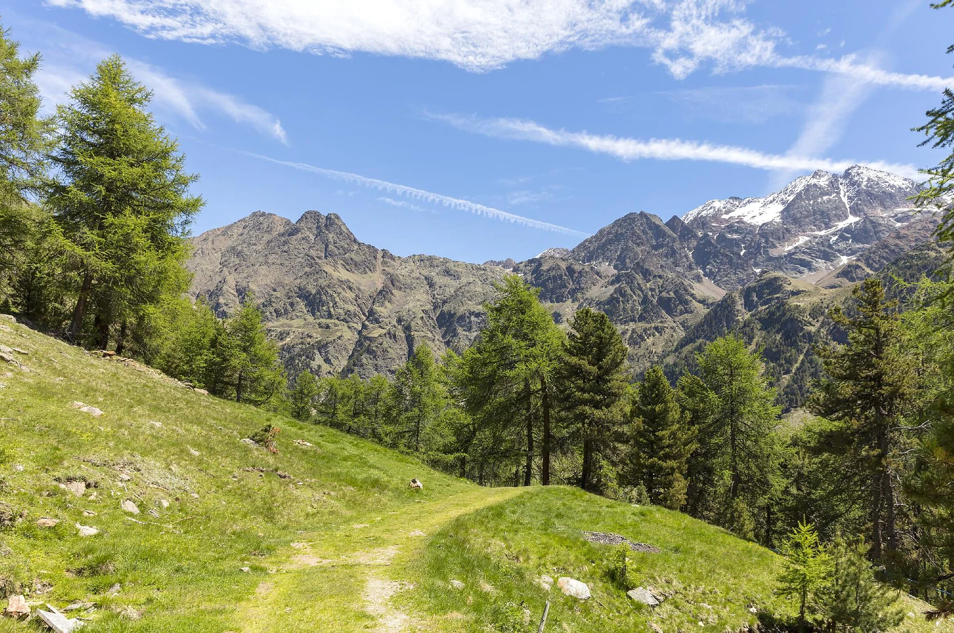
Gentle forest road through sparse larch woodland – manageable even with an off-road stroller and without alpine experience.

The path follows the marked forest road no. 3 throughout and climbs steadily. No exposed sections, ideal for families with children.

Route description – stop by stop

  1. Start: Glieshöfe car park (1,808 m)

    Large paid car park at the end of the Matsch valley road. Right by the Almhotel Glieshof the path no. 3 toward Matscher Alm begins.

  2. Wooden bridge over the Saldur stream

    After a few minutes you cross the Saldur stream. The actual ascent through sparse larch forest begins here.

  3. Forest road through the larch woodland

    Steady gradient on a wide forest road – shady and pleasant even on hot days. Repeated views into the valley.

  4. Clearing with stream crossing

    At around 1,900 m the forest opens into a clearing. A small bridge crosses a side stream – lovely rest spot with views of the Saldur peaks.

  5. Destination: Matscher Alm (2,000 m)

    After the last bend you reach the alm – sun terrace, homemade specialities and the view into the rear Matsch valley await.
Tip: Sturdy shoes are enough. Don't forget water & sunscreen.
By (e-)bike

Bike tour to Matscher Alm

Moderate
Riding time
1.5 – 2 hrs
Elevation
900 m
Distance
13 km
Start
Mals

One of the most beautiful bike tours in the Vinschgau – relaxed by e-bike, a sporting challenge under your own steam.

Asphalt and compacted gravel – entirely on the Matsch valley road with no singletrack. With an e-bike also manageable for less experienced bikers.

Route description – stop by stop

  1. Start: Mals (1,051 m)

    From Mals railway station or the village centre, follow signs toward Matsch. The road climbs immediately after the edge of the village.

  2. Tartsch & valley view

    Along the sunny slope of Tartsch with a view of Churburg Castle and the upper Vinschgau – first elevation gains here.

  3. Village of Matsch (1,580 m)

    After about 8 km you reach the mountaineering village of Matsch. A short break at the village fountain is worthwhile – from here it gets quieter and more alpine.

  4. Matsch valley road

    Narrow mountain road along the Saldur stream through forest and open meadows. Little traffic, constantly changing views.

  5. Glieshöfe (1,808 m) – e-bike charging station

    The asphalt ends, from here it continues on compacted gravel. Ideal spot to top up the e-bike battery.

  6. Destination: Matscher Alm (2,000 m)

    Final 200 m of elevation on forest road – sporty but well rideable. Bike rack right in front of the alm.

Tip: There's an e-bike charging station at the Glieshöfe and at Matscher Alm.
On foot

Along the Ackerwaal

Moderate
Walking time
approx. 2:45 h
Elevation
approx. 580 m
Destination
2,000 m
Start
Matsch (village)

The trail starts in Matsch and follows the Ackerwaal, which meanders gently along the valley slope. Across the Saldur stream it continues to the Glieshöfe, from there it's another 45 minutes to Matscher Alm.

From the centre of Matsch (reachable by car or bus) follow signpost no. 11 to the Ackerwaal. After a short ascent you reach the level of the waal, which accompanies you, gently flowing, along the west slope above the valley toward the north – without major climbs. After about 6 km you reach the water intake, cross the road and the Saldur stream, then follow signs to the Glieshöfe. At the chapel by the Almhotel Glieshof the waal trail ends after about 2 hours. From there the climb to Matscher Alm takes another 45 minutes and around 200 m of elevation.

Route description – stop by stop

  1. Start: centre of Matsch (1,580 m)

    Matsch is a mountain village in the municipality of Mals, reachable by car or bus. In the village centre follow signpost no. 11 toward the Ackerwaal.

  2. Ascent to the waal

    After a short climb you reach the level of the waal. From here the gently flowing water accompanies you on the west slope above the valley northward.

  3. Blooming waal trail

    In early summer the meadows the waal trail crosses bloom with a great variety of flowers. As is typical of waal trails, it continues without major climbs.

  4. Water intake & Saldur stream

    After about 6 km you reach the water intake. Here you cross the road and the Saldur stream, then follow the sign to the Glieshöfe, already in sight.

  5. Glieshöfe (1,808 m) – break possible

    At the chapel by the Almhotel Glieshof the waal trail ends after about 2 hours. Those who like can stop here before continuing up to the alm.

  6. Destination: Matscher Alm (2,000 m)

    From the Glieshöfe the forest road climbs in around 45 minutes and 200 m elevation to Matscher Alm – sun terrace and homemade specialities await.

Tip: Especially recommended from late May to mid-June, when an exceptional variety of flowers blooms on the meadows along the waal.
On foot

Circular hike from the Glieshöfe

Moderate
Walking time
approx. 1:30 h
Elevation
approx. 250 m
Destination
2,000 m
Start
Glieshöfe

Varied loop from the Glieshöfe via the Herrensteig to the Innere Matscher Alm and across the Saldur stream up to Matscher Alm – not stroller-friendly.

From the Glieshöfe go along the Herrensteig no. 1 inward to the right through the forest to the Innere Matscher Alm. From there the path leads left across the Saldur stream back outward. After a short climb on forest road no. 3 you reach Matscher Alm. Total walking time approx. 1:30 h.

Route description – stop by stop

  1. Start: Glieshöfe (1,808 m)

    The loop starts at the Almhotel Glieshof. We follow the Herrensteig no. 1 inward into the valley.

  2. Herrensteig no. 1 through the forest

    Narrow forest path to the right inward – quiet, shady and authentic. Not stroller-friendly.

  3. Innere Matscher Alm

    We reach the Innere Matscher Alm and turn left toward the Saldur stream.

  4. Saldur stream – back outward

    We cross the Saldur stream via a bridge and continue back outward on the opposite side.

  5. Forest road no. 3 – short climb

    After a short climb on forest road no. 3 the view opens to Matscher Alm.

  6. Destination: Matscher Alm (2,000 m)

    Arrival at Matscher Alm – sun terrace and homemade specialities await.

On foot

3,000-metre peaks

Around Matsch lies a true eldorado for mountain lovers: from the Pleres peak via the Weißkugel to numerous other three-thousanders, countless high-alpine tours start here. Anyone stopping at Matscher Alm has the perfect base for ambitious summit days – just ask us, we'll be glad to suggest routes suited to your fitness and experience.

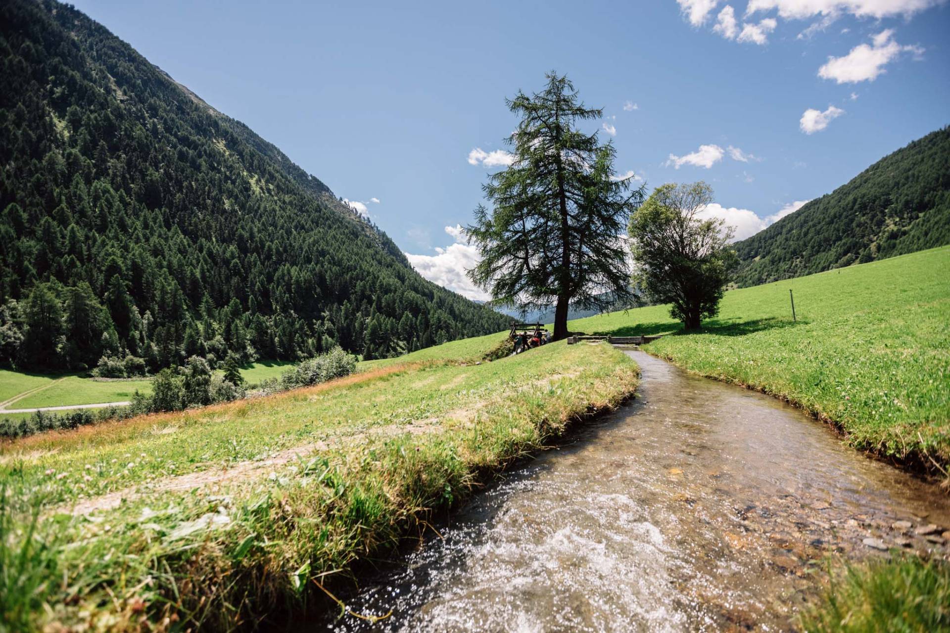
Along the waal through the Matsch valley – water, meadows and larches accompany you on the climb.
By car

Parking at the Glieshöfe

If you come by car, drive through the Matsch valley to its end at the Glieshöfe. There you'll find a large free car park right by the Almhotel Glieshof (1,808 m) – the hiking trail up to Matscher Alm starts here, about 45 minutes on foot.

Tip: On warm summer days arrive early – the car park fills up quickly by midday. There's also an e-bike charging station on site.

Open in Google Maps
By public transport

By train, bus & hiking taxi

By train comfortably to Mals. From Mals station the city bus Line 278 runs to Matsch.

From Matsch village the hiking taxi Line 281 takes you hourly to the Glieshof hikers' car park. You can board at the stops Golgabichl car park, village or at the terminus.

Seasonal service: The hiking taxi runs from 15 June 2026 to 13 October 2026

To the timetable